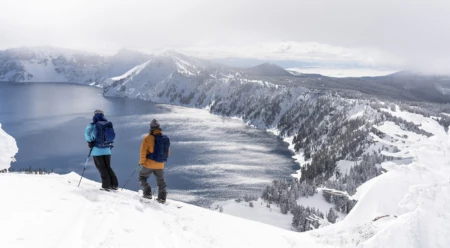
Circumnavigating Crater Lake by Ski
Sampling the Offerings at Crater Lake
“Go for Dirksen…”
There was considerable static on my little two-way radio, but it was a small miracle we could hear Josh Dirksen at all. We hadn’t seen him since a dinner rendezvous two days prior in Bend. An agreed-upon radio channel and call time had actually worked, as had his hand-drawn map.
. Our crew, comprised of Marie-France Roy, Leah Evans, Kael Martin and me, had dug in below a 420-vertical-foot protrusion known as “The Watchman” on the west side of the lake, two small mountains and several miles distant.
“We’re heading your way,” I replied.
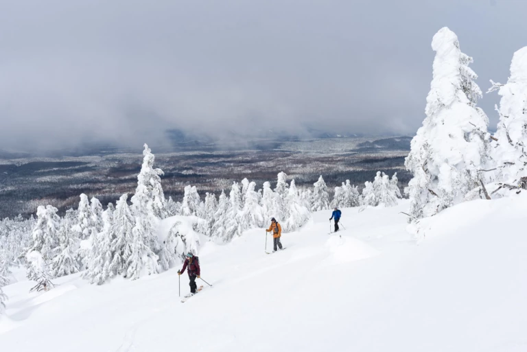
A morning tour under cloudy skies. Marie-France Roy leads Kael Martin and Leah Evans up the snow-ghosted west side of The Watchman as a heavy storm prepares to unload for the next 24 hours. Photo: Colin Wiseman
It was early March and spring was bearing down on Southern Oregon. Whisky jacks chirped. The sun, now high overhead, was beginning to warm the landscape. A multitude of contrails from passenger jets crosshatched the sky. Crater must be a waypoint on the airborne highway, I concluded.
For the moment, camp was idyllic: two tents, a dozen feet apart in a little dip, shaded by snow-ghosted evergreens leading up to The Watchman. We’d skinned up the night before for a few alpenglow turns, and again that morning to catch the sunrise over the volcanic cone of Wizard Island, which sits in the deepest lake in the United States—a maximum depth of 1,949 feet during big precipitation years. Due to its relatively young age and a lack of inflowing streams, it’s also the clearest and purest large body of water in the world, according to the National Park Service.
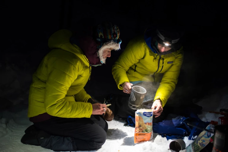
Leah Evans and Marie-France Roy are dedicated to staying warm. That usually meant multiple layers of insulation and plenty of hot meals once the sun went down and temperatures dipped into the teens. Photo: Colin Wiseman
There’s a fire lookout/interpretive center on the summit of The Watchman that sees a lot of visitors during the summer months. It was built between 1931 and 1933 as part of the Crater Lake Master Plan, at the beginning of an era when our national parks’ infrastructure was a priority for the Civilian Conservation Corps. Crater Lake National Park itself was created by President Theodore Roosevelt in 1902 and became a tourist attraction shortly thereafter. In 1919, work was finished on a crude initial version of Rim Drive, which runs 33 miles around the whole lake. The Crater Lake Lodge (circa 1915), a steeply roofed structure with 71 rooms and a stone foundation at the south end of the lake, is where we last saw other people, on the first day of our trip.
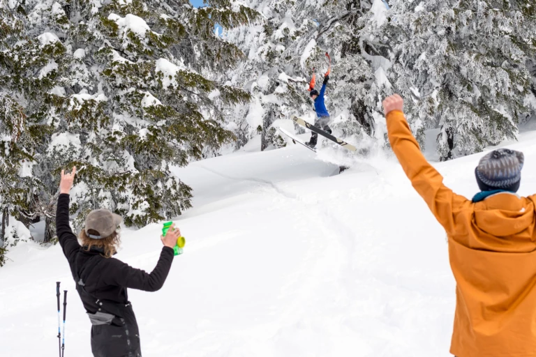
When sleeping in the wilderness, there’s always time for shenanigans. Marie-France Roy built this little booter just above camp and Leah Evans sent it, skins in hand, before heading out on another tour. Photo: Colin Wiseman
The plan was to circumnavigate the lake. We asked Josh to join, who hails from nearby Bend, but he was just coming off knee rehab and opted to take a mellower approach: an overnight camp on the northwest edge of the lake. Despite 700,000-plus annual visitors, few people circumnavigate during winter—an estimated 200 folks per year, mostly cross-country skiers, make the three-to-four-day journey. If the snow is powdery or slushy (or anything but wind-buffed hardpack), it can be a slog.
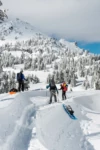
Pulk sleds can be both a blessing and a burden. If conditions are right, they make hauling a heavy load into the backcountry much easier. On this trip, deep snow and tricky terrain led to a few mishaps and sketchy traverses. Kael Martin takes the low line and creates an entertaining moment for Leah Evans and Marie-France Roy. Photo: Colin Wiseman
Even fewer approach the area with downhill turns in mind. It’s a bit of a case of forbidden fruit: The terrain that rolls from the rim, at 7,000 feet of elevation, to the water’s edge, 1,000 feet below, is steep and craggy, reminiscent of Lake Tahoe. It would be ideal snowboarding terrain, if it weren’t for that huge terrain trap and the fact that it’s officially off-limits to humans, except for one mellow summer trail to the shore on the north end of the lake.
Crater owes its steepness (and deepness) to the volcanic eruption of 12,000-foot Mount Mazama over 7,700 years ago, which formed the lake. It makes for FOMO-inducing eye candy when viewed from above. A couple protrusions, including The Watchman, allow for turns within view of the caldera, but most of the rideable terrain runs away from the lake. There were, we would find, a few steep, spiny sections to ride, along with Josh’s favored windlip-heavy terrain and a long tree run or two down toward the Pacific Coast Trail. But those discoveries would come later—for now, we would lunch.
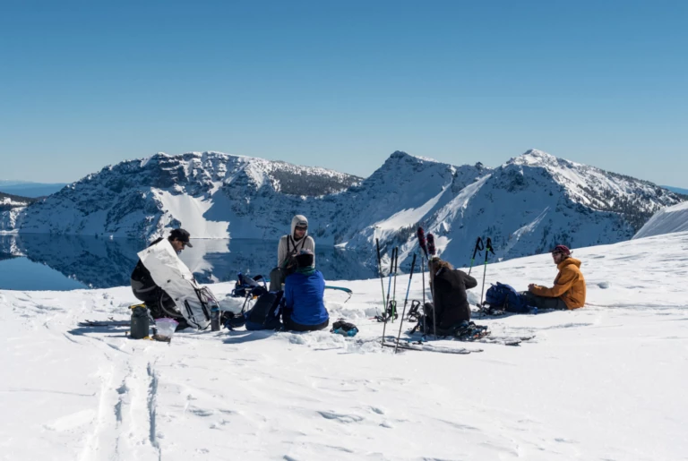
Backcountry lunch with a view. Josh Dirksen, Leah Evans, Marie-France Roy, Kael Martin and Tyler Roemer at the Watchman Overlook, with expansive views of Crater Lake. The saddle in the background is home to Rim Village, and the journey began 1,000 vertical feet below this at Park Headquarters. Photo: Colin Wiseman
We headed north, breaking trail. After a half hour, a figure dressed in yellow crested the horizon. Behind Josh was Tyler, emerging from a low pass on the other side of a small valley. Skinning was easy along the snow-covered road, our skis and splitboards sinking maybe six inches deep. The pair cut a quick traverse to a saddle on the caldera’s rim. Twenty minutes later and we were settled into a simple meal of cured meats, cheese and chatter at a summer viewpoint, where barely protruding signposts made for decent seating. We could see the full expanse of the lake. To our right was Wizard Island. To our left, the largely flat northern shore. Directly across and five miles distant, Mount Scott, the highest point on the crater rim at nearly 9,000 feet.
Josh told stories of his first visit 20 years ago, when he sampled terrain near the visitor center to the south. He also talked about his recent tours via the northerly summer-access road. But he’d never traveled too far beyond the trailheads and clearly wanted to do the full tour.
“Are you guys still gonna walk around the lake?” Josh asked.
“I think we might stay put because of the weather,” I replied.
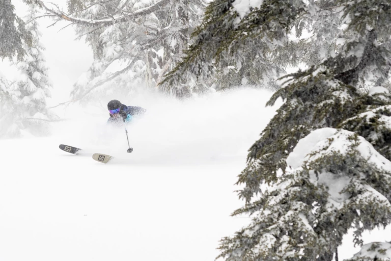
When a heavier-than-expected storm dropped over a foot of snow halfway through the trip, the trees below camp became a fine place to explore. Leah Evans digs into a graupel-heavy snowpack as she descends towards the Pacific Crest Trail. Photo: Colin Wiseman
On this trip, we’d have to mind-surf Mount Scott and beyond. The mild storm that had been forecasted upon our departure had intensified. There was now supposed to be 24 hours of high winds and heavy snow. It was 15 miles to Scott on largely flat and featureless terrain, and the travel would require significant avalanche exposure thereafter. So we decided to hunker down and ride it out, banking on a foot of fresh and exploratory forays from camp to keep us busy through the end of the week. It sounded like more fun than walking into the storm with overloaded gear sleds in tow.
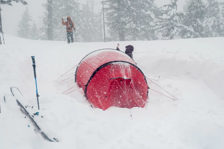
“Hi Kael!” Leah Evans greets Kael Martin as he returns from a quick foray to scope lines below camp in a whiteout. Photo: Colin Wiseman
Our circumnavigatory goals would have to wait till next year, and that was alright. Because for now, we had this surreal, snow-caked caldera to ourselves. With just daypacks on our backs, we followed Josh up the sunny side of the small mountain to the north. From the top, we could see Josh and Tyler’s little red tent perched on a hillside a few miles away.
On the northwest face, shadows lingered, preserving cold snow. Kael dropped first, then Josh, Marie, Leah, Tyler and finally, me. The snow was creamy, stable and six inches deep—just right for a half dozen wide-open turns. A fine digestif.
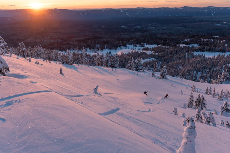
It took a bit longer than expected to get to camp on day one. Once settled, a quick tour up to The Watchman led to a last-light party lap back to the tents for Marie-France Roy and Kael Martin. Photo: Colin Wiseman
